Road Trip: Days 3-5

I suppose these days don’t really count as a road trip. We’re in the Kispiox River Valley, about 17 miles north of Hazelton, BC. For the devoutly nerdy among you, 55° 27.17′ N, 127° 43.51′ W,

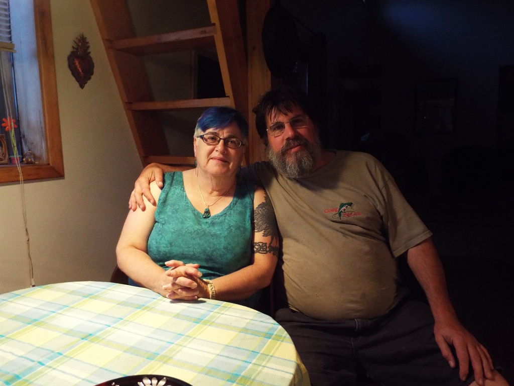
We’ve been staying with friends, having a wonderful and restful time. Clara has had a bit of a headache and I’m fighting off a cold. I had the additional joy the other night of breaking off a bit of tooth.

Image
The Bulkey River at Hazelton.

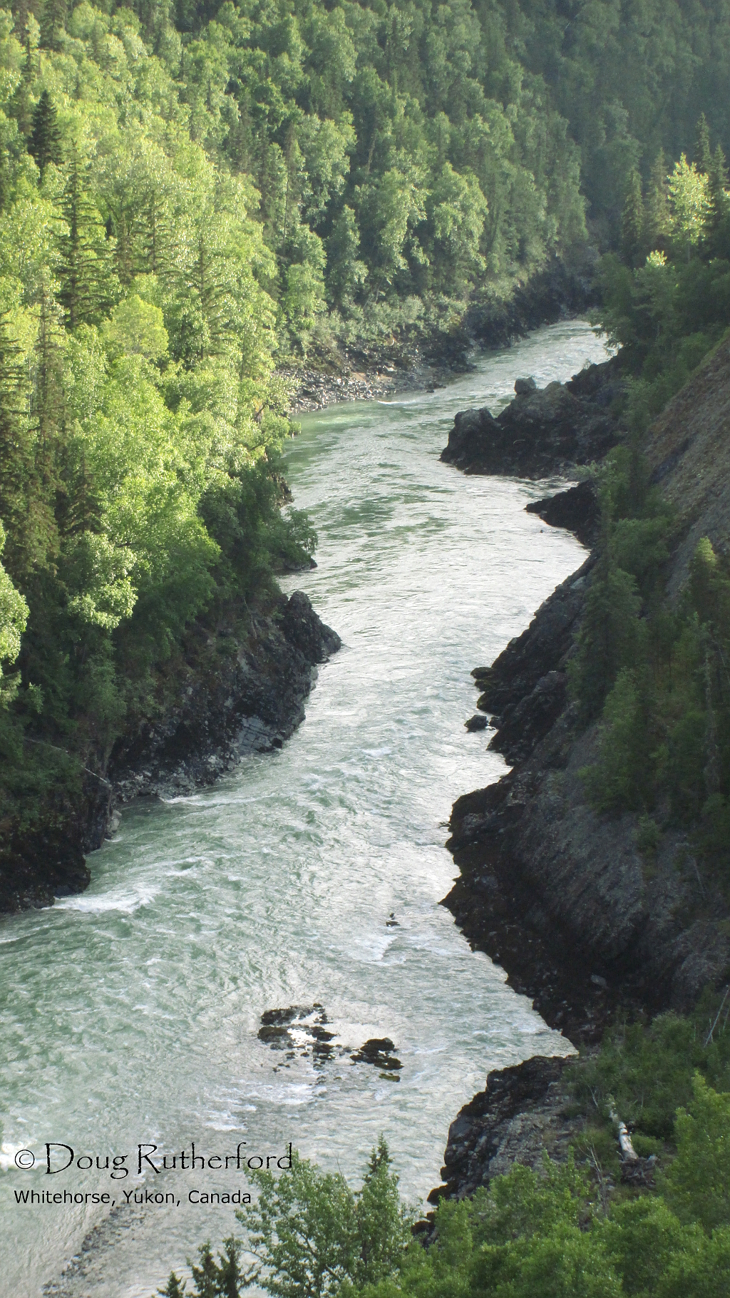
This is where the Kispiox, Skeena, and Bulkley Rivers meet and the junction of three valleys. It’s a rather pretty place, with mountains and rivers, and lots of history. There are two Gitxsan villages in the area and a vibrant Gitxsan development corporation. There is also a home where Emily Carr stayed for a while.

On a side note, in 1918, Carr tried to pay her rent one month by offering her landlady a painting instead. The landlady refused.

Image
One of The Sisters, behind the hospital at Hazelton.

We are still here until tomorrow, when we head a bit further down the road to Prince George. I’m hoping we get a chance to take my nephew and neices out for dinner. Unfortunately, my brother and sister-in-law are out of town, but sometimes, my timing tends to suck and that’s that.

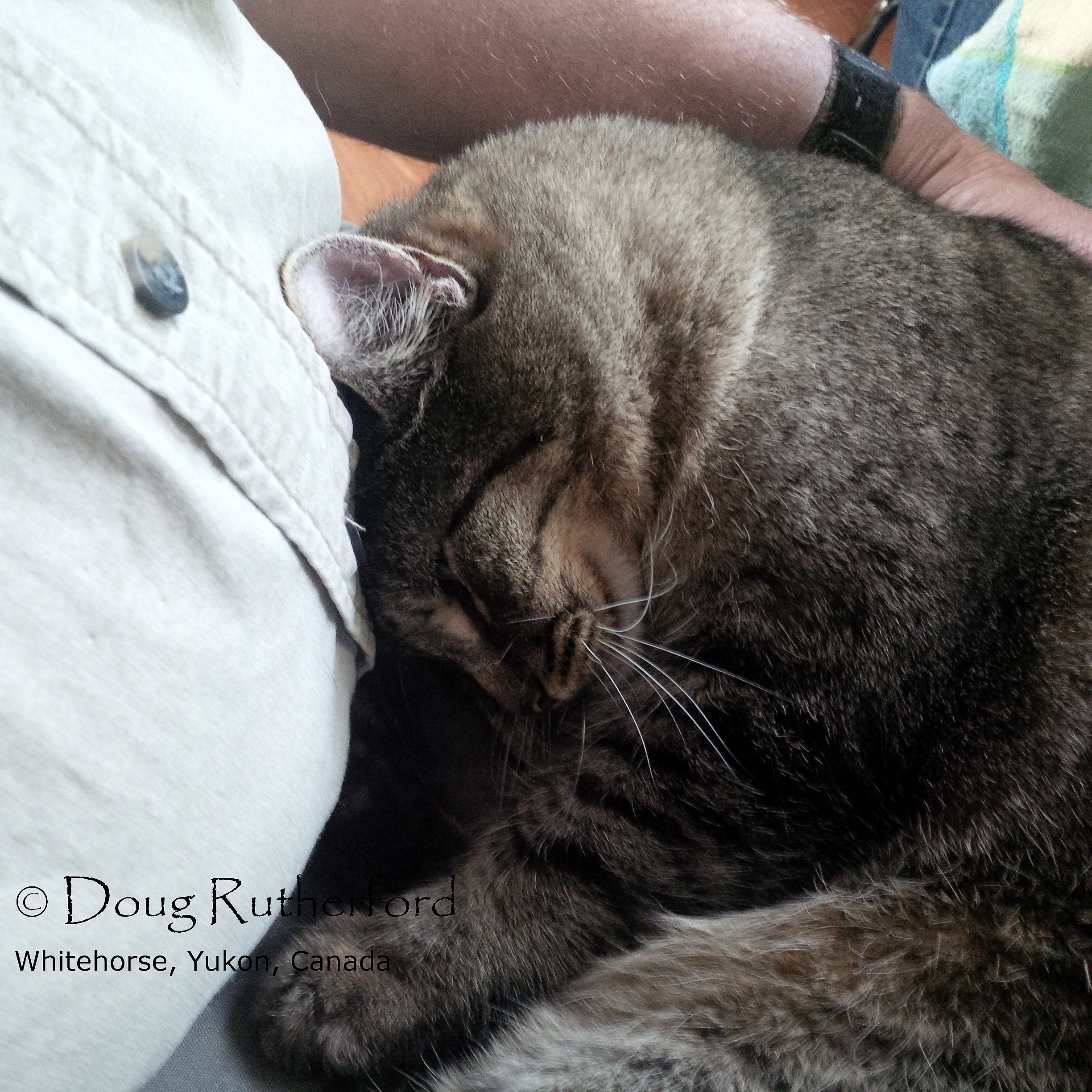
P.S. One of Brian and Pat’s cats, supposedly a bit shy, has the idea of relaxing before the next stage of the road trip well in hand…

Image
Relaxing.

Road Trip, Day 2

Our starting mileage from the gas station at Dease Lake was 104135.8. I got $80 of gas at Dease, where it was $1.63/l. I gassed up again at Hazelton, where the price was a bit better, $136.9/l. We used 48.8 l to get to Dease Lake from Junction 37 and 136.6 l to get to Hazelton. Our mileage for the day yesterday was 566.1 km.

The highway from Dease Lake to the Junction with the Yellowhead Highway was considerably better. There was a centreline and fewer frost heaves and pot holes. There was still plenty of scenery, which the Cassiar does have in spades. If you were taking your time, and not travelling between destinations, you could get a lot of great pictures.

It was raining in Dease, quite hard at times overnight. It did rain a few times as we went down the road and at one point, we did have heavy rain on the drive.

Tanzilla River, near Dease Lake, BC.
Road warrior.
Road warrior.


The area around Gnat Pass Summit was quite nice and that’s where we say the first bear of the trip. It was a big boar, solitary so you can guess the gender, and one of the biggest black bears I’ve seen. This guy tipped the scale at probably 400 pounds and was right by the highway. We went about half an hour down the road and saw a juvenile on the highway edge, answering the age old question about what bears may or may not do in the woods. About 200 m from there, we met a cyclist heading in that direction, so I waved him down and pointed out the bear. He figured he’s wait a bit before carrying on for some reason…


About an hour later, we saw a sow and two cubs. She was tiny, probably only about 125 pounds. All three watched us pass them on the road.

Moose meadows, near Gnat Creek summit.
Rest area, Bob Quinn Lake.

We stopped for a snack at Bell II crossing. The lodge is quite nice and the prices, particularly for refilling my coffee thermos were pretty decent. Then, it was back on the road again.

Nass River.
Nass River.

We eventually got to Brian and Pat’s place in the Kispiox River valley about 7:30 or so. They have a really nice place, although I do understand why they’re widening their driveway at the moment. We had a wonderful dinner, roast beast smoked and cooked on the BBQ with fresh veggies. After a bit of a visit, we settled down for the night and slept the sleep of the just.

Brian and Pat.
Brian and Pat.